

Tai Mo Shan Hike, Tsuen Wan

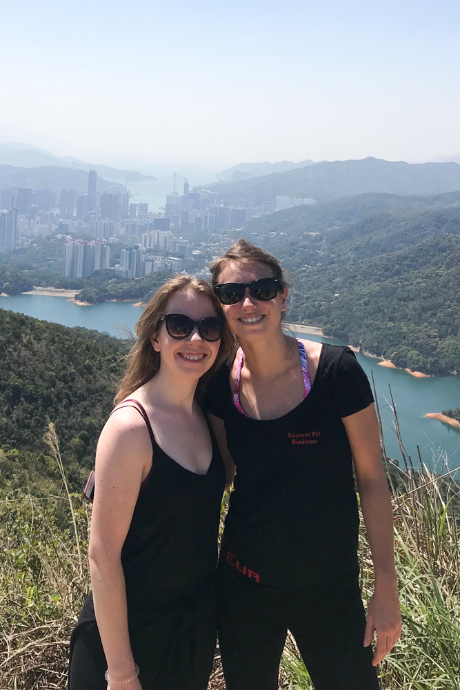
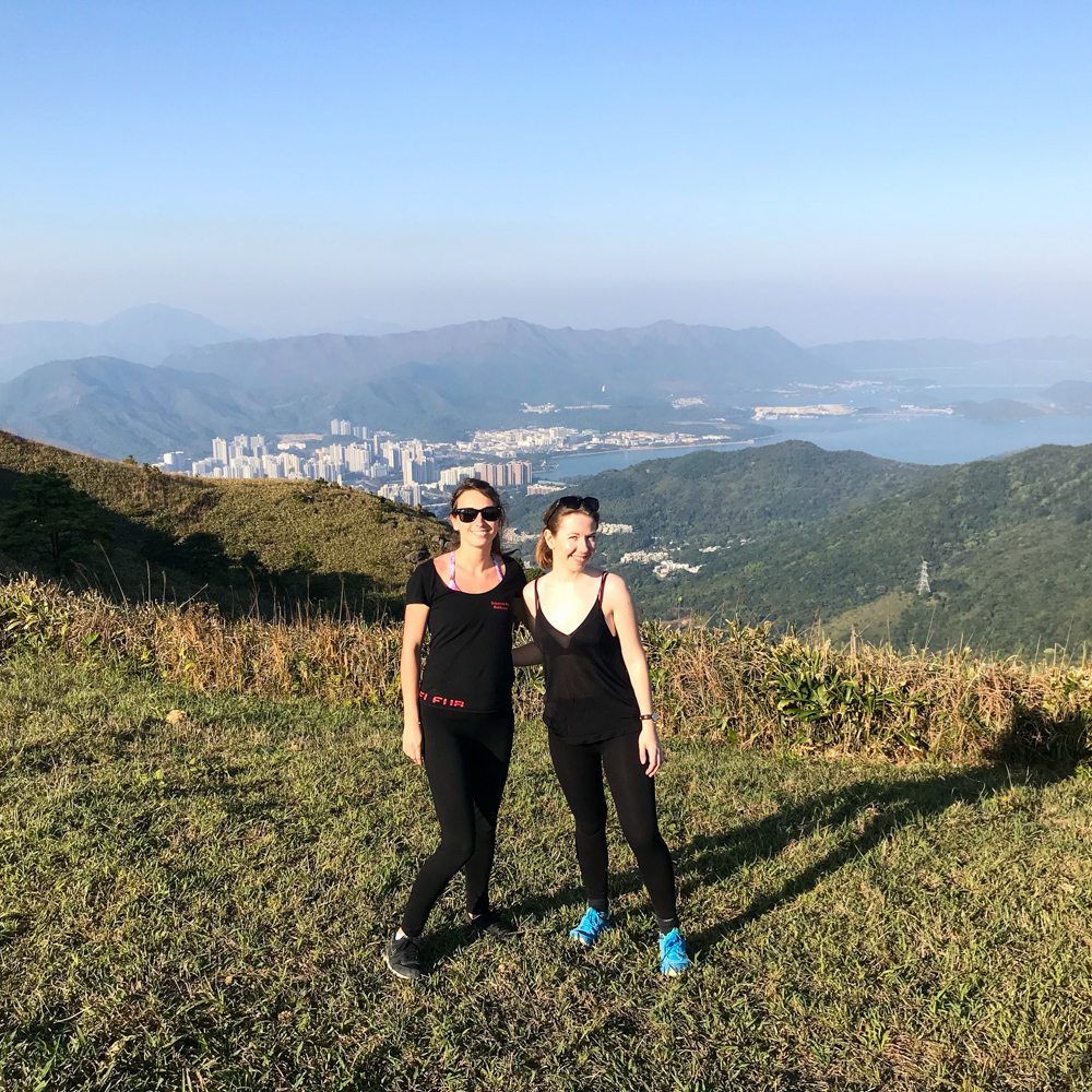
Hello Hong Kong! As you know it, hiking is very popular in our city. One year ago, my dear roommate and friend Mahé climbed the tallest peak of Hong Kong and loved it. Its name is Tai Mo Shan (literally ‘Big Hat Mountain’ in reference to the usual crown of clouds around the top of the mountain due to its height) and we successfully did it last Saturday with my lovely friend Marie.
I must warn you: it was not that easy. The entire hike took us around 6/7 hours, even if we did it our own way – as this dear Frank Sinatra would say. But if you want to climb all the peaks before reaching Tai Mo Shan and enjoy the full experience, be aware that you will spend most of the day climbing rocks.

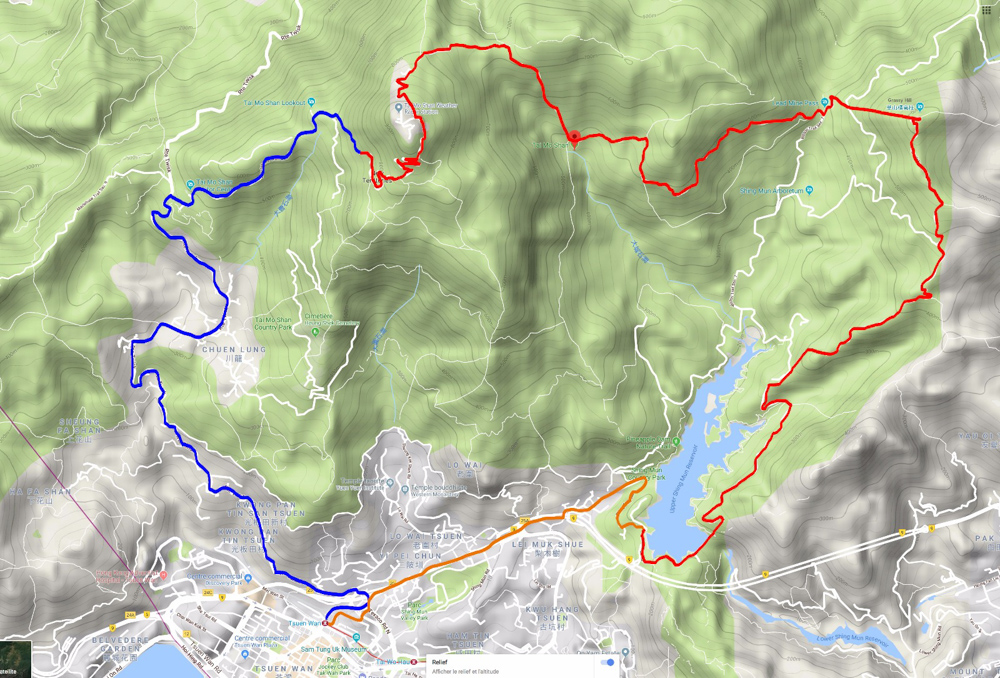
To get there
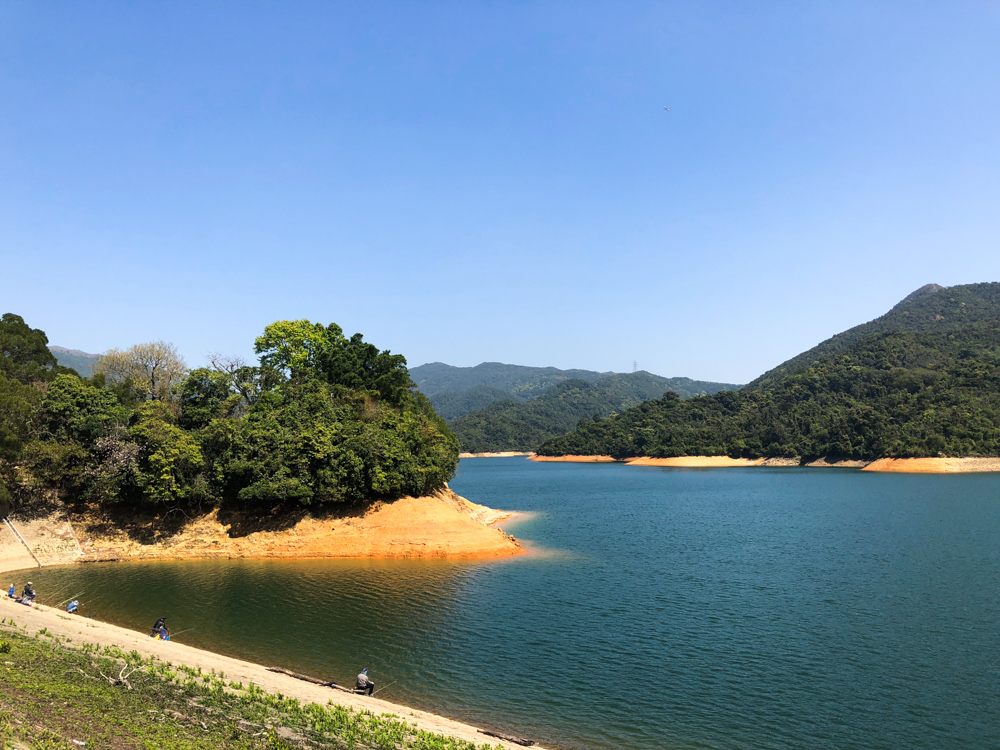
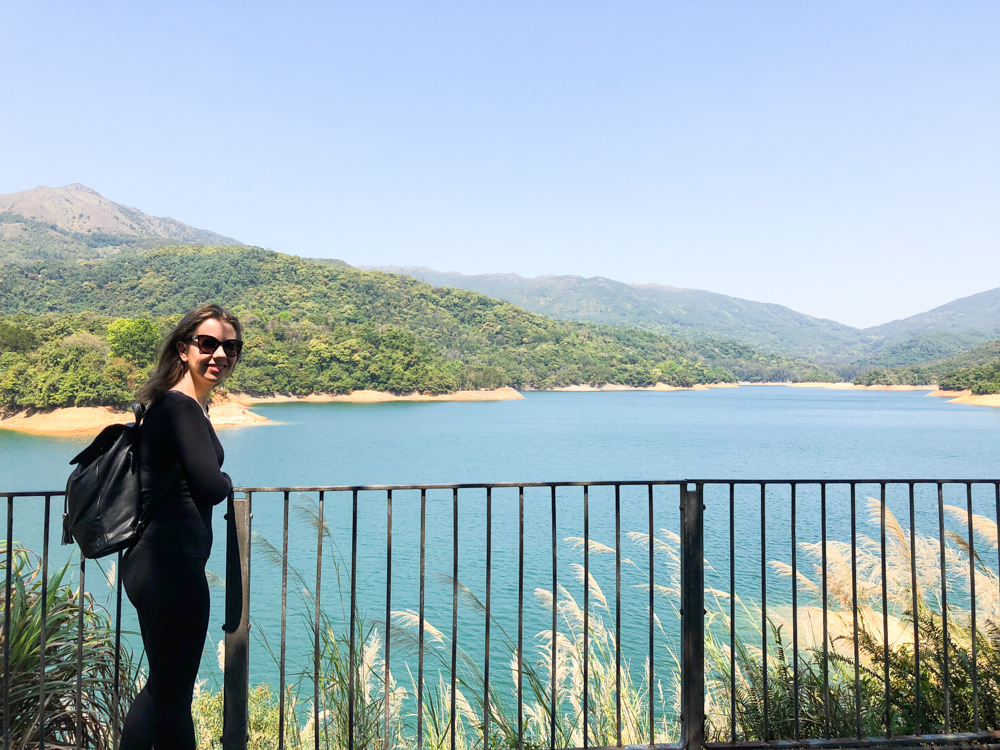
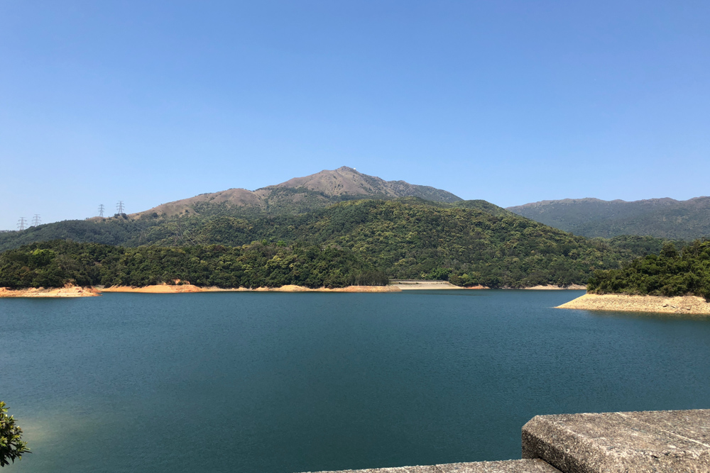
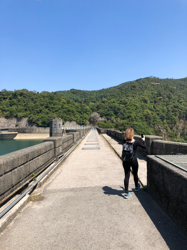
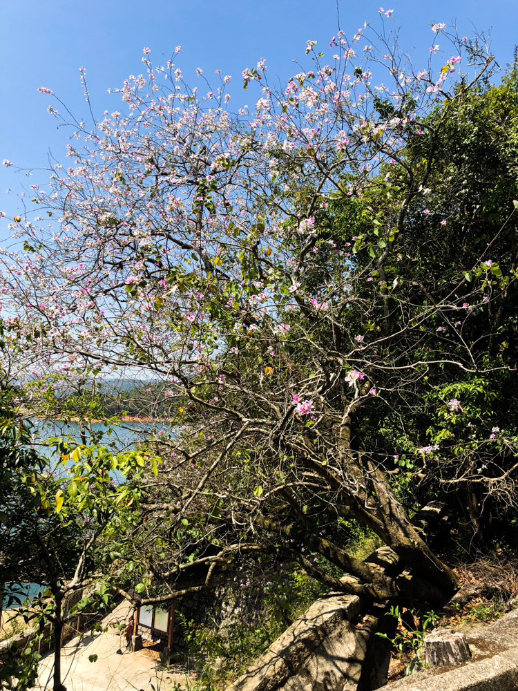
Getting at Tsuen Wan MTR station (last stop of the red line), take a taxi to Shing Mun reservoir and walk to the Pineapple dam (oh so #cute!). We follow the instructions of this blog which are really good, except that the girl walked faster than us I think : ) ). The walk around the reservoir in itself is very pleasant and we were fortunate enough to have THE perfect weather for this hike. If you have planned on going to Tai Mo Shan, be sure to have a sunny weather as it gets cold at 950 meters high and the view can be hidden by haze and clouds.
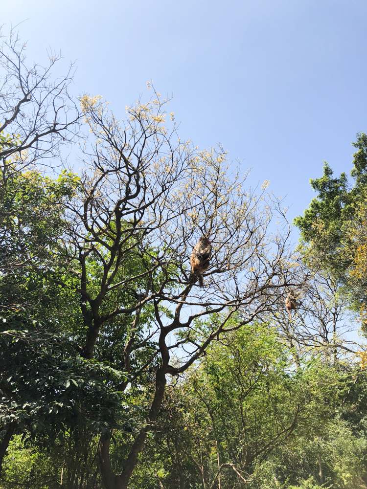
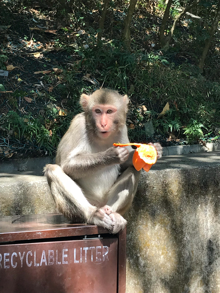
We met wild monkeys (not very wild as we were really close to them) around the reservoir. And then we started the hike in itself: MacLehose Trail 7 section.
Needle Hill
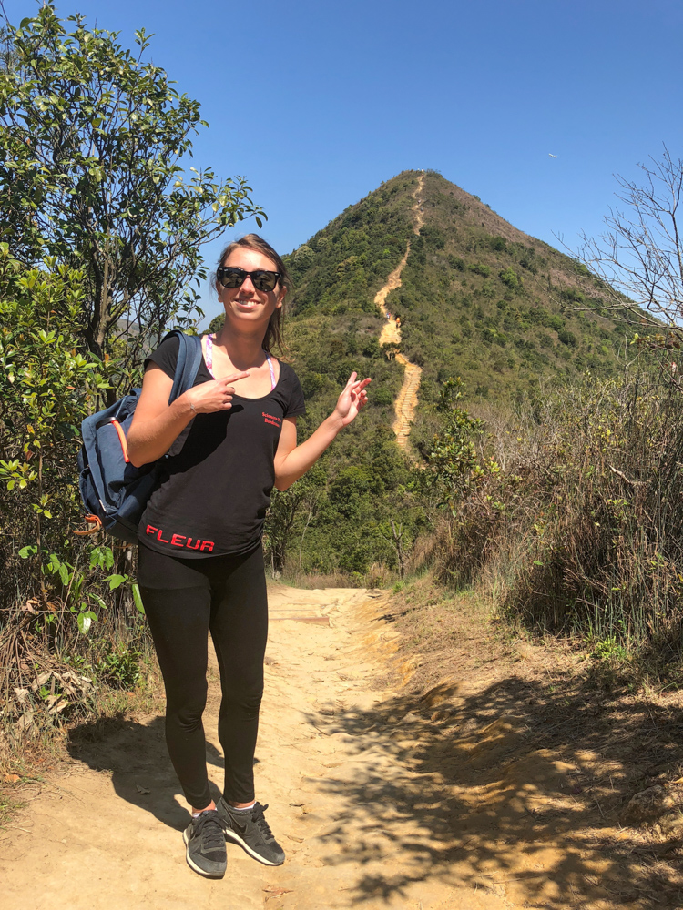
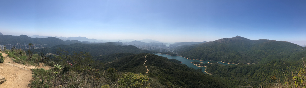
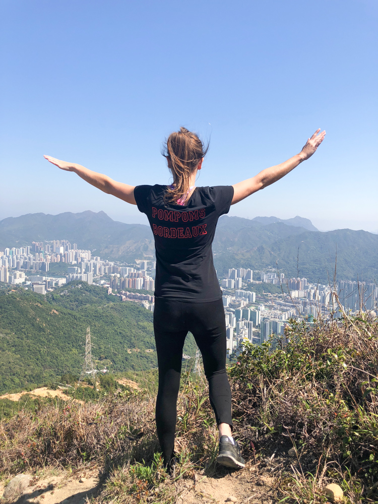
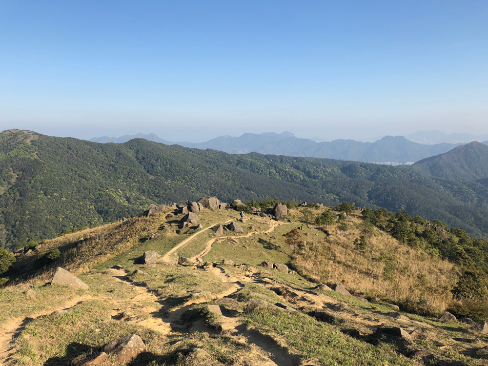
I think the first part to get to the base of needle hill was the most difficult being the 3steepest. We did many breaks to catch our breath (as we were discussing a lot too). People we met were so polite: they always said ‘Hello’ and this pleasantly surprised us. The top of Needle Hill will give you the first spectacular view of Hong Kong (532 m). We had lunch here and went on to Grassy Hill.
Grassy Hill
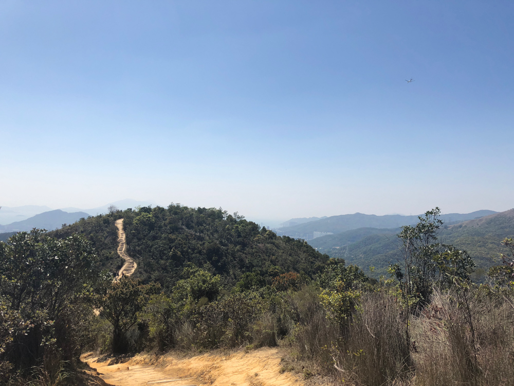
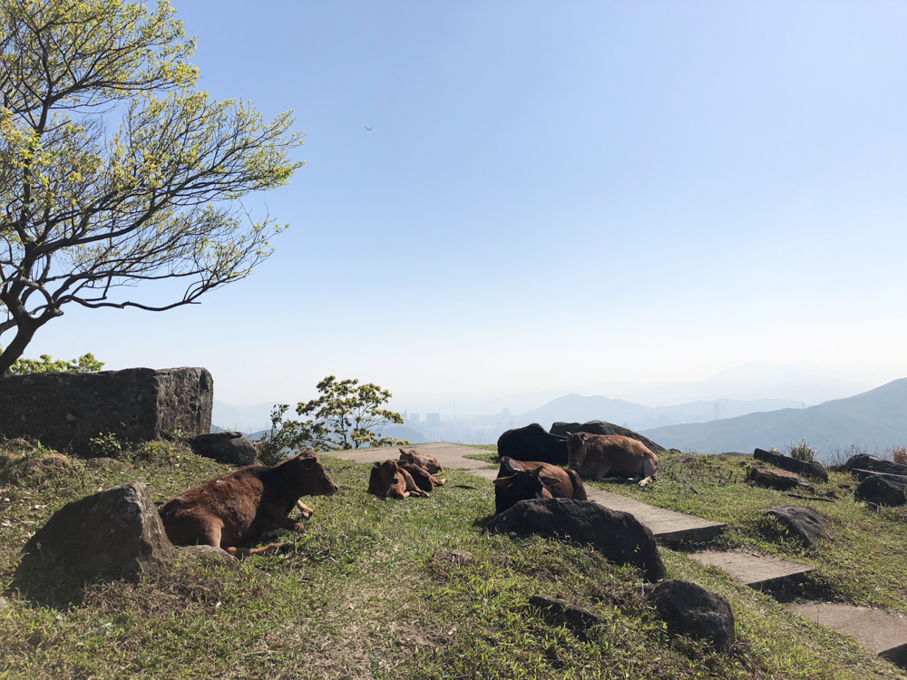
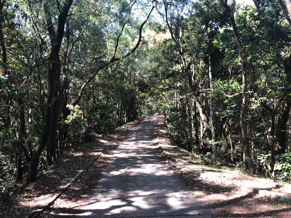
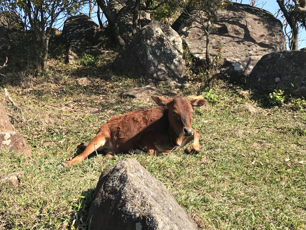
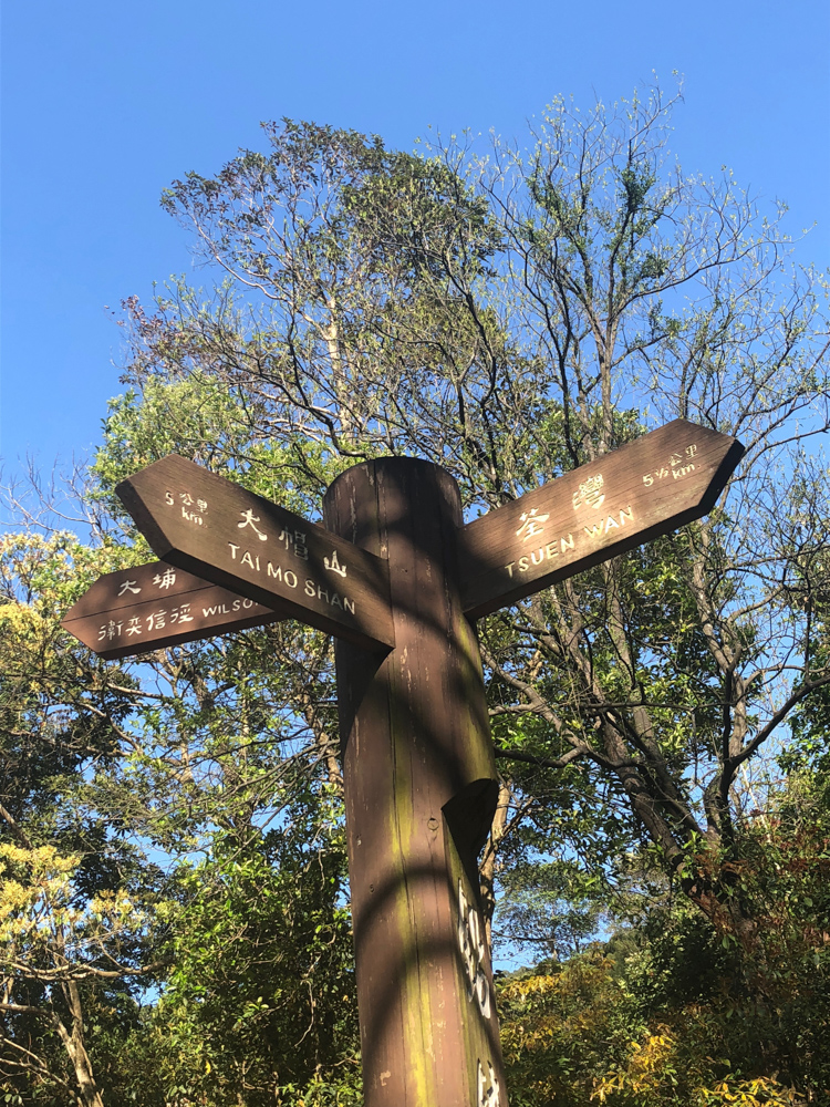
The descend from Needle Hill and the part leading to Grassy Hill was more pleasant to me with many trees giving a refreshing shadow to our hike. We met several cows and calves along the way, sometimes scattered among big black rocks which was quite funny because they looked similar to them. When you reach a fork cross, and if you are feeling tired, you can directly go to Lead Mine Pass which is the first stop to the entrance of Tai Mo Shan hike.
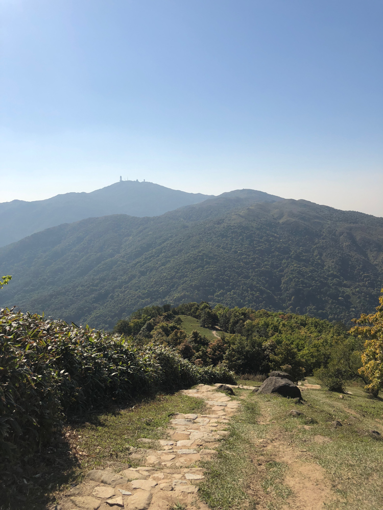
Tai Mo Shan
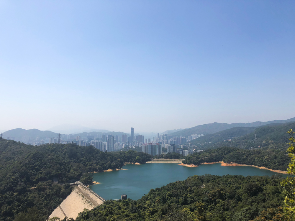
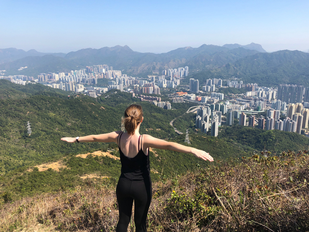
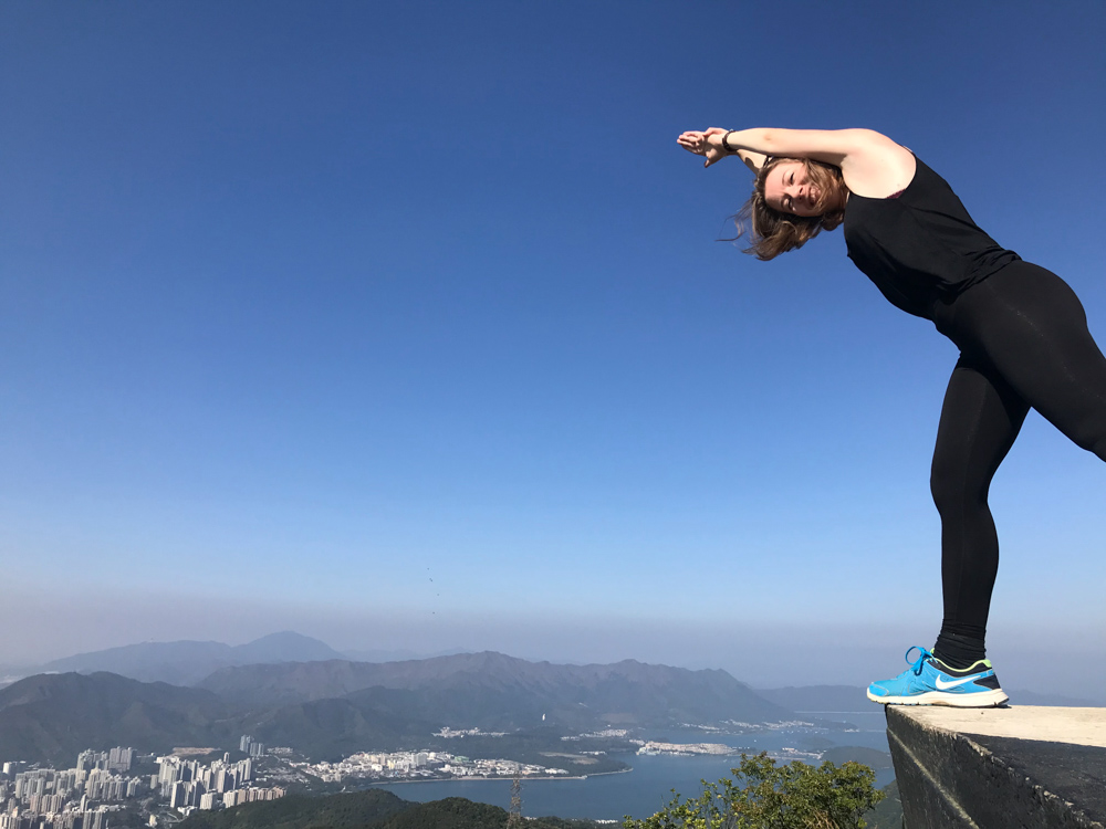
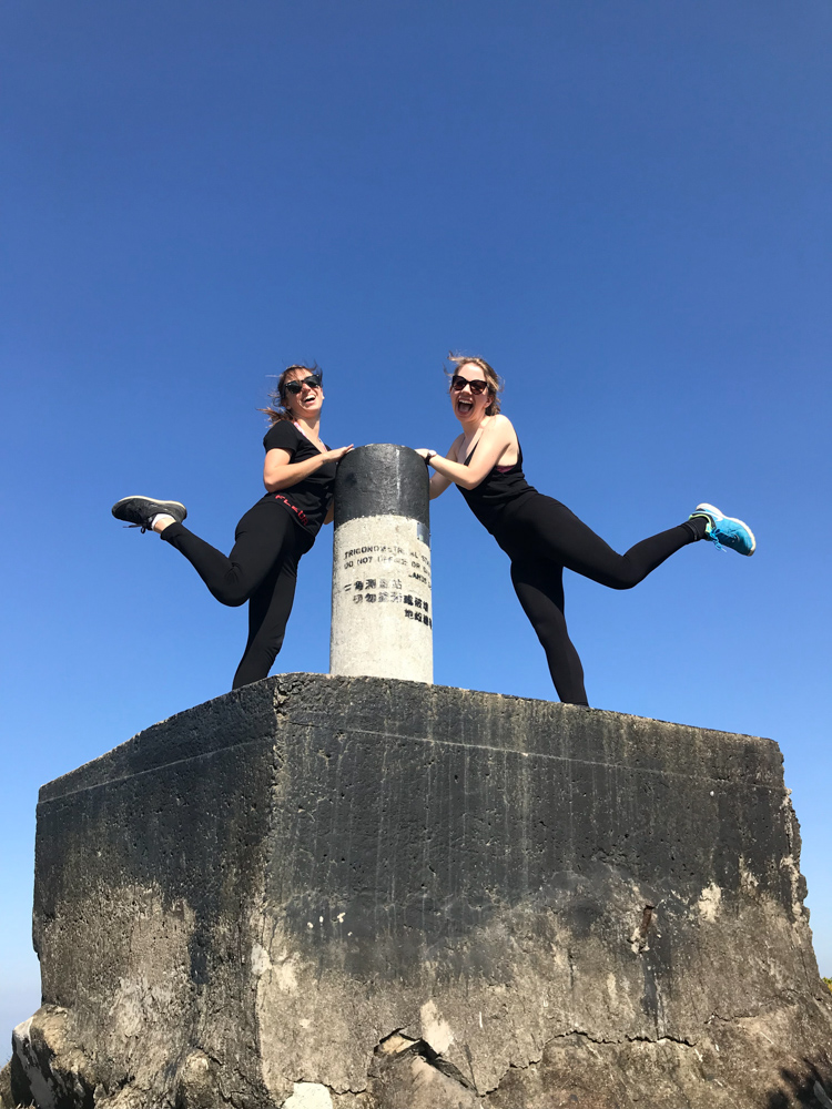
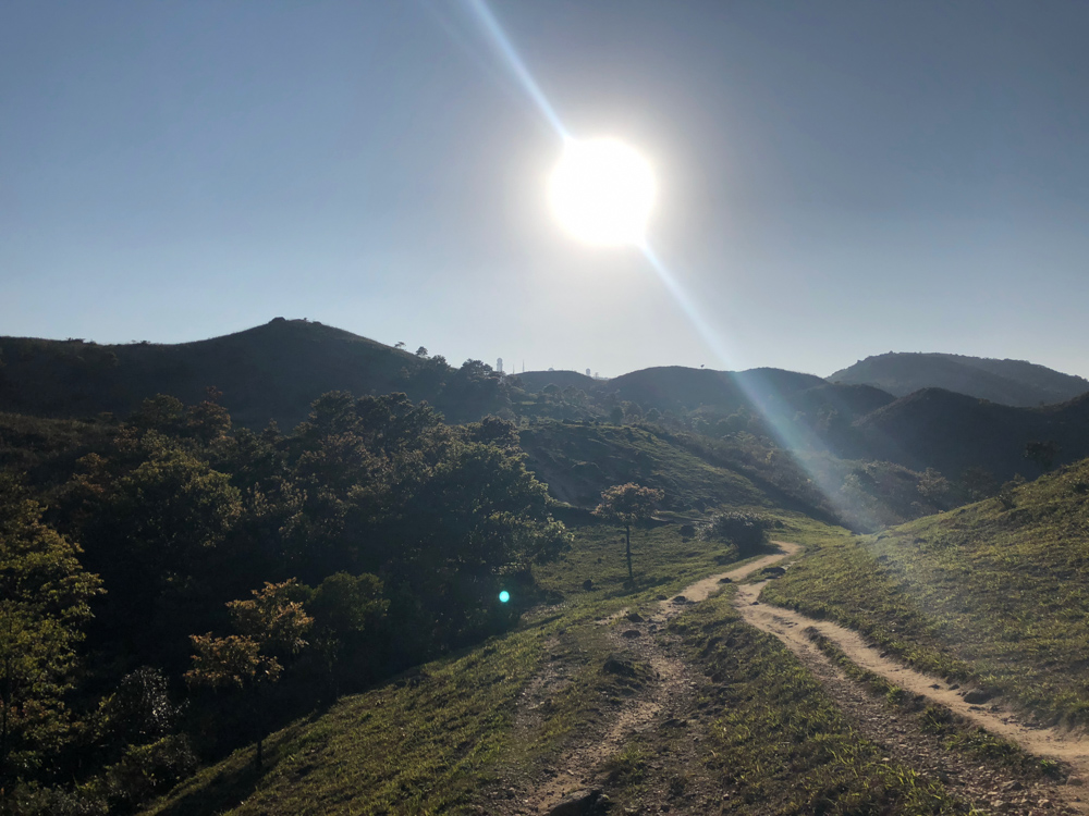
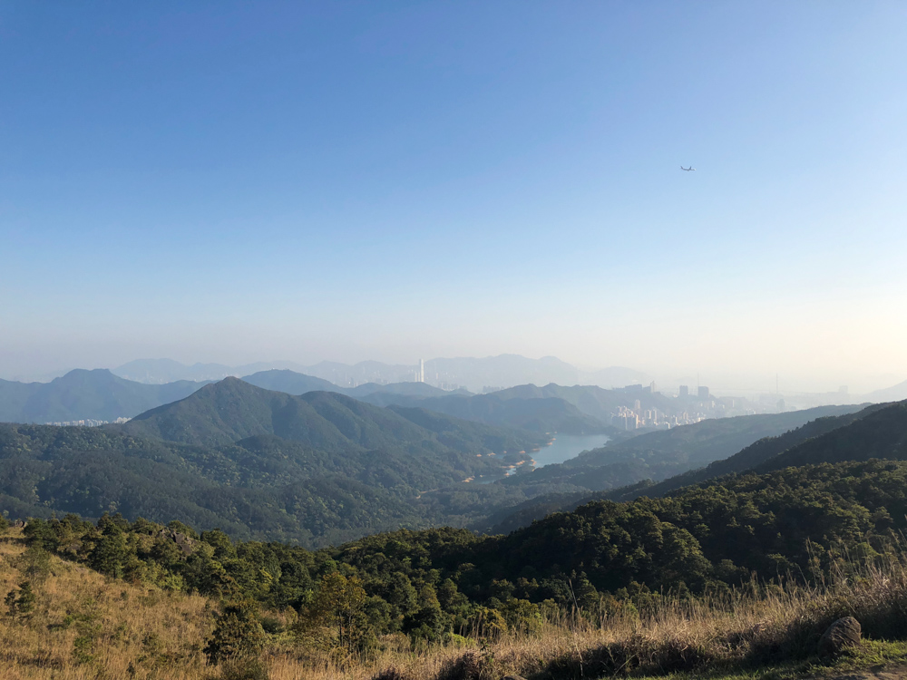
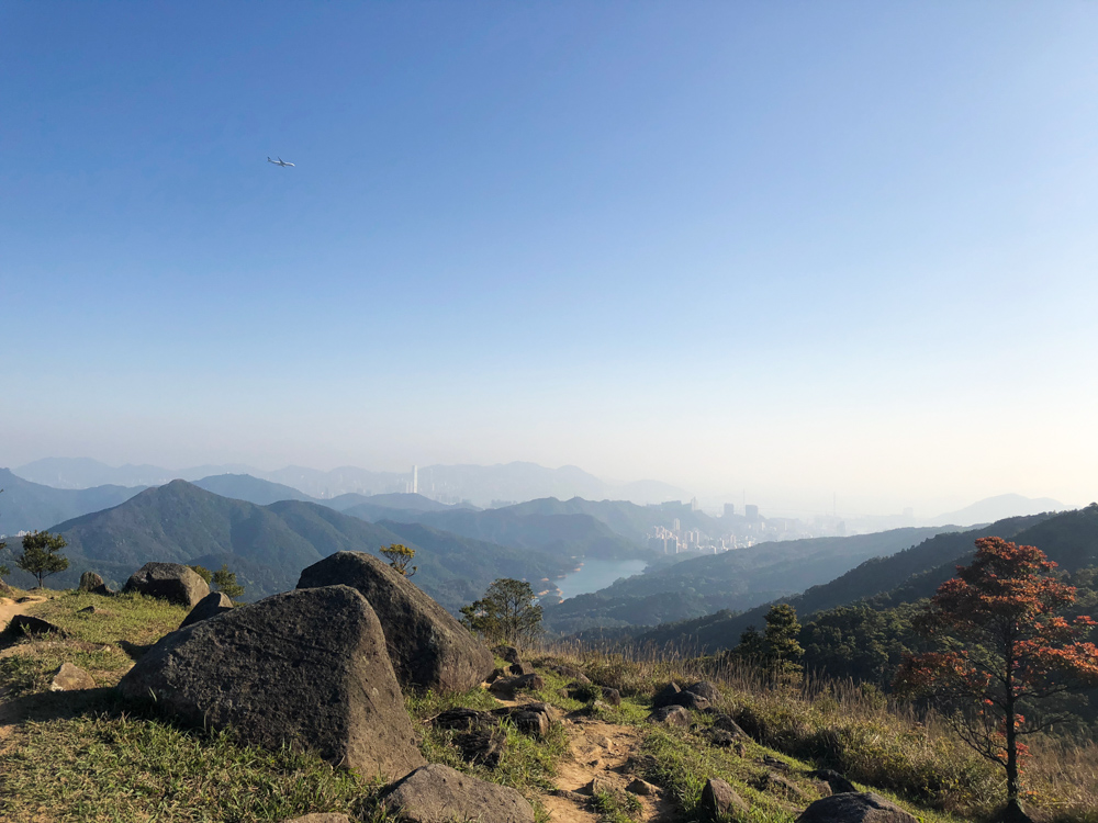
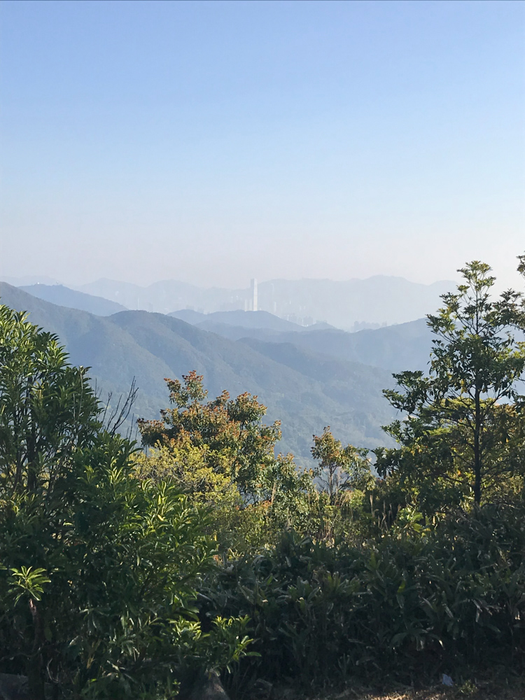
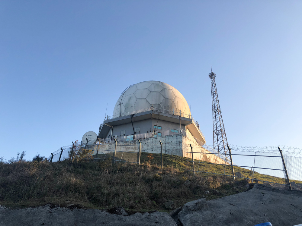
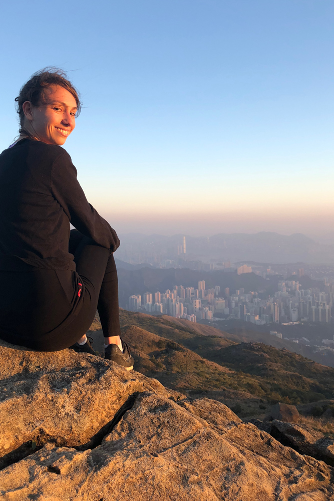
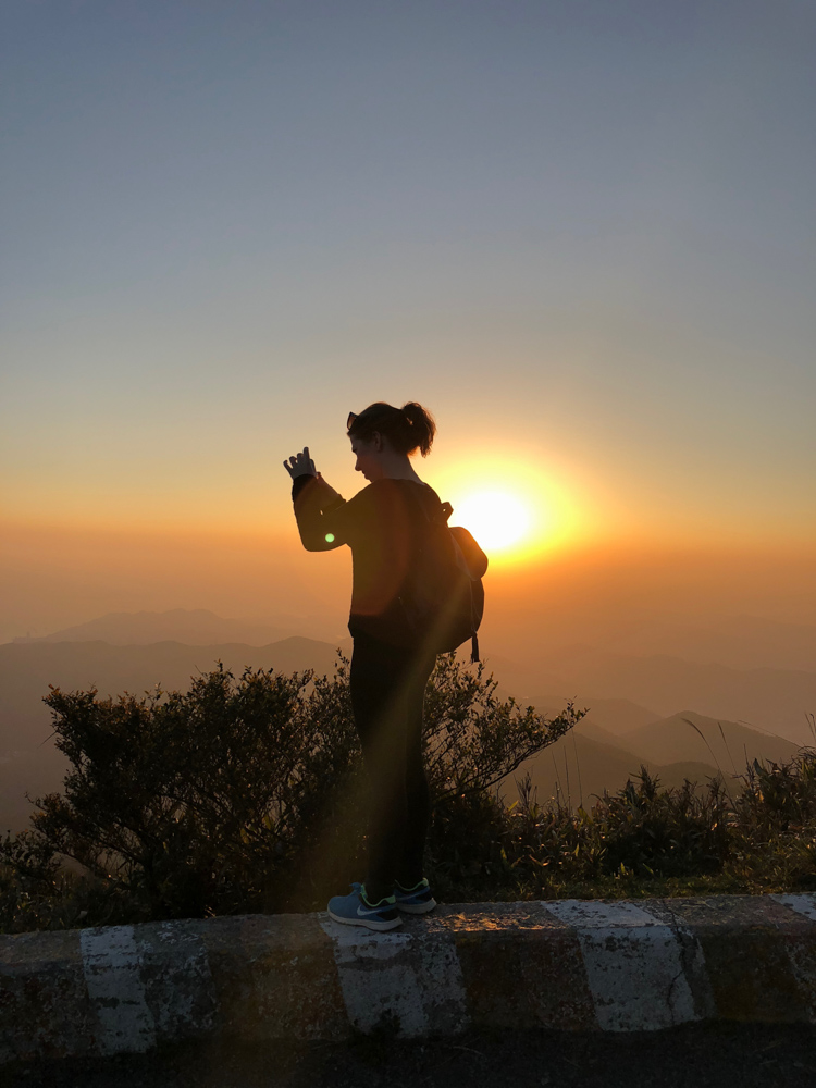
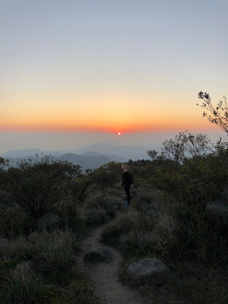
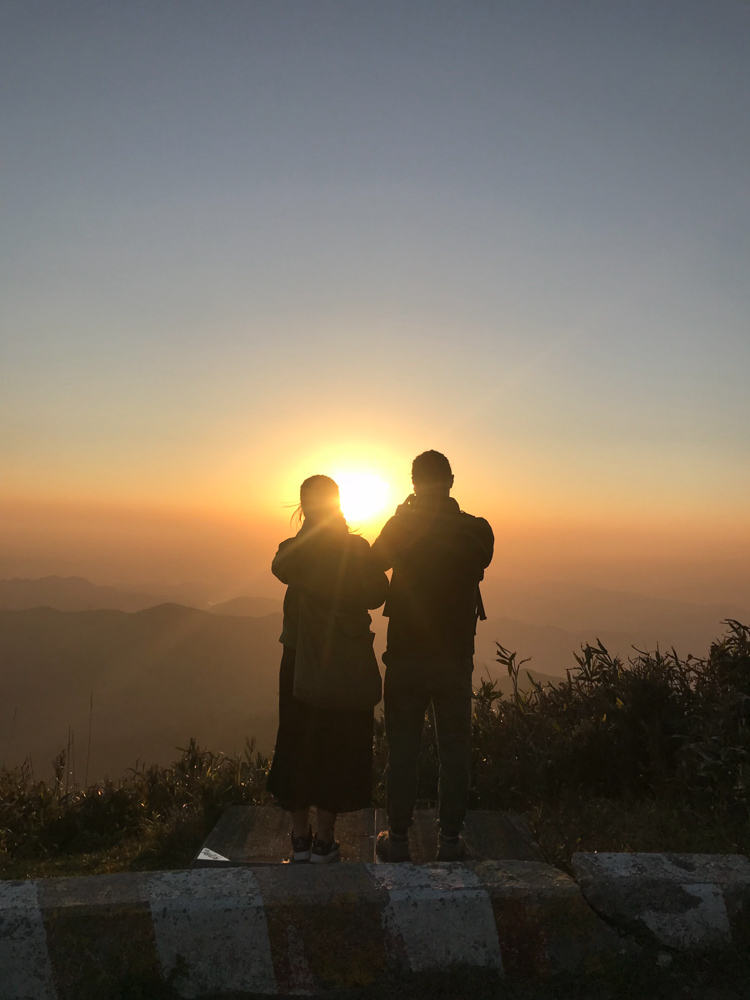
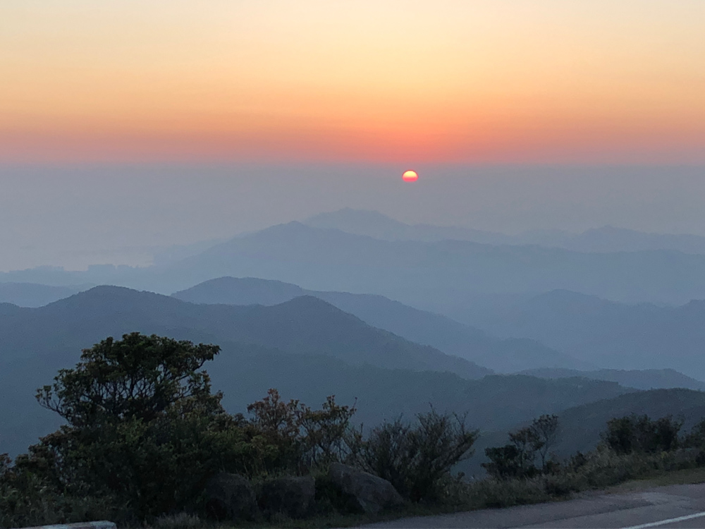
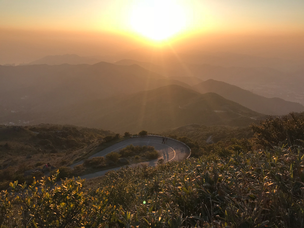
The walk to the top of Tai Mo Shan (957 meters) is quite pleasant. It is the section 8 of MacLehose Trail. The first meters were covered by trees and it was a steep climb. But they you reach countryside paths and you get a gorgeous view on both Hong Kong and Shenzhen if you are lucky enough to have a clear weather. As it was already 5:30 pm and we didn’t know how long was left and the sun was coming down quickly we had a minor scare to finish the walk in the dark without flashlights. Fortunately, we reached the paved road leading to the observatory which was the top of the hike.
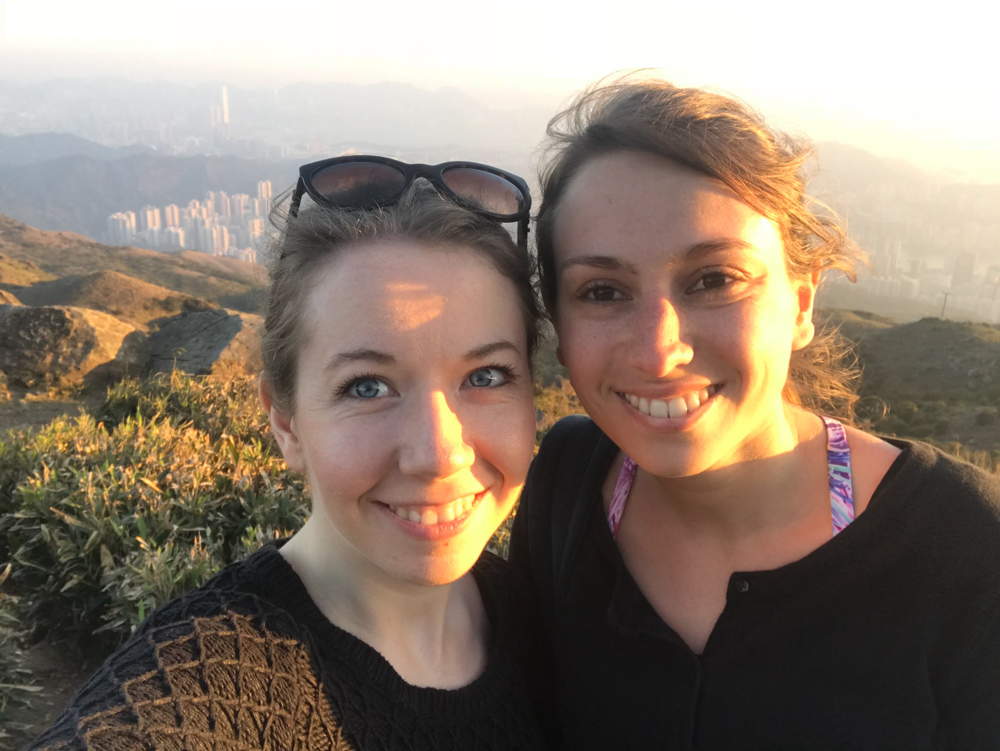
After a photo session with the beautiful sunset, we started our descent to the MTR. However, it was quite long, and our legs did not carry us anymore. I started to hitchhike (for the first time in my life… but we are in Hong Kong so I fell safe) and a modern Tesla car stopped to take us to the MTR (a charming couple by the way, very nice), we were so relieved and glad not to walk anymore!


One of my best memories and hikes in Hong Kong so far, quite long and difficult but definitely worth the pain of your muscle aches on the next day! Seeing Hong Kong and the surrounding landscape from the top is really priceless. Just be prepared!
Tsuen Wan MTR Station and taxi to Shing Mun Reservoir and Country Park.
Did you like this page? Do you want to have more information? I’ll be happy to receive any comment from you!
0 Comments